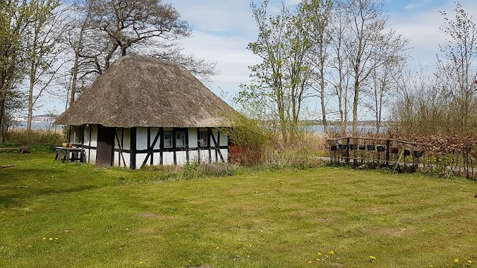
Park nearby Dyrskuepladsen
Denmark
Park nearby Dyrskuepladsen
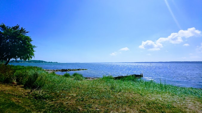
Dyrskuepladsen
Hattingvej 6, Horsens Danmark
contacts phone
:
+45
Latitude:
55.8626408
, Longitude:
9.8221287
read more
nearest Park
196 m
Anlægsgartner Kent Køhler - Havemand & Haveservice - Træfældning, Terassebygger & Brolægger
Norgesvej 1, Horsens
Park
read more
196 m
Anlægsgartner Kent Køhler - Havemand & Haveservice - Træfældning & Brolægger Haveanlæg
Norgesvej 1, Horsens
Park
read more
589 m
Bygholm Park
Schüttesvej 1, Horsens
Park
read more
949 m
Horsens Banegård Park
Horsens
Park
read more
1.101 km
Vitus Berings Park
Kongensgade 1, Horsens
Park
read more
1.229 km
Nygaard A/S
Gotlandsvej 12, Horsens
Park
read more
1.612 km
Rådhusparken
Ove Jensens Alle 28, Horsens
Park
read more
1.637 km
Green Sustainable Landscape ApS
Rådhusgade 3, 1, Horsens
Park
read more
2.429 km
Caroline Amalie Lund
Carolinelundsvej 1, Horsens
Park
read more
2.555 km
Lunden
Horsens
Park
read more
3.432 km
Langelinieanlægget
Langelinie, Horsens
Park
read more
3.605 km
Nord Beach
Rønnevej 27, Horsens
Park
read more
3.605 km
Nørrestrand
Rønnevej 27, Horsens
Park
read more
3.689 km
V/Ove Jensen
Ametystvej 7, Horsens
Park
read more
4.294 km
Strandparken Horsens
Strandpromenaden, Horsens
Park
read more
4.682 km
Egebjerg Bavnehøj
Grusdalsvej 22A, Horsens
Park
read more
4.985 km
Fingerhav
Horsens
Park
read more
5.19 km
Skov- og landskabsingeniør Palle Flohr Koch
Skovvej 29, Horsens
Park
read more
5.279 km
Shelterplads Egebjerg
Skovvej 44, Horsens
Park
read more
5.311 km
Horsens Anlægsgartneri I/S
Bisgårdsvej 10, Horsens
Park
read more
5.387 km
Blomsterhaven i Boller slotspark
Boller Slotsvej 20, Horsens
Park
read more
5.72 km
Rodenberg Anders Og Pernille F
Uthvej 27, Horsens
Park
read more
10.309 km
Sønderkær's House & Garden Service
Kirkevej 10, Løsning
Park
read more
11.405 km
Klip og Fræs
Hornsyld Industrivej 7, Hornsyld
Park
read more
11.546 km
Haldballegaard ApS
Kattrupmade 5, Hovedgård
Park
read more
📑
all categories
Accounting
Administrative area level 1
Administrative area level 2
Airport
Amusement park
Aquarium
Art gallery
Atm
Bakery
Bank
Bar
Beauty salon
Bicycle store
Book store
Bowling alley
Bus station
Cafe
Campground
Car dealer
Car rental
Car repair
Car wash
Casino
Cemetery
Church
City hall
Clothing store
Colloquial area
Convenience store
Country
Courthouse
Dentist
Department store
Doctor
Electrician
Electronics store
Embassy
Finance
Fire station
Florist
Food
Funeral home
Furniture store
Gas station
General contractor
Grocery or supermarket
Gym
Hair care
Hardware store
Health
Hindu Temple
Home goods store
Hospital
Insurance agency
Jewelry store
Laundry
Lawyer
Library
Light rail station
Liquor store
Local government office
Locality
Locksmith
Lodging
Meal delivery
Meal takeaway
Mosque
Movie rental
Movie theater
Moving company
Museum
Natural feature
Neighborhood
Night club
Painter
Park
Parking
Pet store
Pharmacy
Physiotherapist
Place of worship
Plumber
Point of interest
Police
Political
Post office
Premise
Real estate agency
Restaurant
Roofing contractor
Route
Rv park, camping
School
Shoe store
Shopping mall
Spa
Stadium
Storage
Store
Subpremise
Subway station
Supermarket
Synagogue
Taxi stand
Train station
Transit station
Travel agency
University
Veterinary care
Zoo
sublocality level 1
sublocality level 2
↑