places in Mårslet
Denmark
Mårslet
Mårslet
Administrative Region:
Central
population:
5 036
calling code:
+45-xx xx xx xx
postcode:
8320
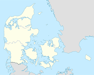
Location on the map of Denmark
Mårslet
School
Mårslet skole
Testrupvej 4, Mårslet
School
read more
Testrup Højskole
Testrupvej 110, Mårslet
School
read more
Den integrerede institution Valhalla
Bedervej 86, Mårslet
School
read more
Jordbrugets UddannelsesCenter Århus
Nymarksvej 65, Mårslet
School
read more
sublocality level 2
Holme-Højbjerg-Skåde
Holme-Højbjerg-Skåde
sublocality level 2
read more
Supermarket
SuperBrugsen
Hørretvej 12, Mårslet
Supermarket
read more
REMA 1000
Mårslet Byvej 28, Mårslet
Supermarket
read more
Train station
Vilhelmsborg St.
Denmark
Train station
read more
Bus station
Hørretvej/Præsteengen. Mårslet (Aarhus)
Denmark
Bus station
read more
Obstrupvej/Hørretvej (Aarhus Kom)
Denmark
Bus station
read more
Hørretvej/Obstrupvej. Mårslet (Aarhus)
Denmark
Bus station
read more
Hørretvej/Hørretløkkevej. Mårslet (Aarhus)
Denmark
Bus station
read more
Tandervej/Agervej. Mårslet (Aarhus)
Denmark
Bus station
read more
Hørretløkkevej/Hørretvej (Aarhus Kom)
Denmark
Bus station
read more
Hørretvej/Borrevænget. Mårslet (Aarhus)
Denmark
Bus station
read more
Agervej/Tandervej (Aarhus Kom)
Denmark
Bus station
read more
Præsteengen/Hørretvej (Aarhus Kom)
Denmark
Bus station
read more
Mårslet Byvej/Visbjerg Hegn (Aarhus)
Denmark
Bus station
read more
Mårslet Skole
Denmark
Bus station
read more
Borrevænget/Hørretvej (Aarhus Kom)
Denmark
Bus station
read more
Visbjerg Hegn/Mårslet Byvej (Aarhus Kom)
Denmark
Bus station
read more
Mårslet Obstrupvej/Baneleddet
Denmark
Bus station
read more
📑
Mårslet all categories
Bus station
Church
Clothing store
Electrician
Electronics store
Gas station
Health
Home goods store
Lawyer
Lodging
Meal delivery
Painter
Pharmacy
Physiotherapist
Point of interest
Restaurant
School
Supermarket
Train station
sublocality level 2
↑