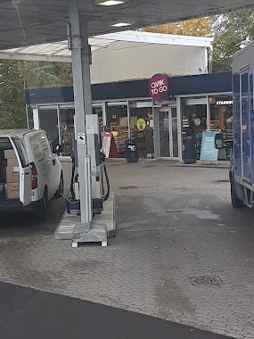
Gas station nearby OK Benzin
Denmark
Gas station nearby OK Benzin
OK Benzin
Hørmarken 10, Farum Dania
contacts phone
:
+45
Latitude:
55.8226674
, Longitude:
12.3687711
read more
nearest Gas station
815 m
METAX station
Rugmarken 1-3,, Farum
Gas station
read more
819 m
INGO
Rugmarken 1, Farum
Gas station
read more
1.213 km
Q8 Tankstation
Frederiksborgvej 9, Farum
Gas station
read more
1.389 km
Tcb Retail ApS
Frederiksborgvej 31, Farum
Gas station
read more
1.394 km
Circle K Farum
Frederiksborgvej 31, Farum
Gas station
read more
1.394 km
Cirkle K Farum
Frederiksborgvej 31, Farum
Gas station
read more
3.78 km
Q8 Tankstation
Bistrupvej 133, Birkerød
Gas station
read more
3.907 km
Circle K Birkerød
Bistrupvej 80, Birkerød
Gas station
read more
4.486 km
Statoil Værløse
10, Kirke Værløsevej, Værløse
Gas station
read more
4.486 km
Shell
10, Kirke Værløsevej, Værløse
Gas station
read more
4.486 km
Statoil Værløse
Kirke Værløsevej 10, Værløse
Gas station
read more
4.601 km
Birkerød
Birkerød Kongevej 158, Birkerød
Gas station
read more
4.608 km
Uno-X
Birkerød Kongevej 158, Birkerød
Gas station
read more
4.651 km
Circle K Blovstrød
Kongevejen 5, Lillerød
Gas station
read more
4.686 km
Q8 Tankstation
Ballerupvej 20, Værløse
Gas station
read more
4.925 km
INGO
Birkerød Kongevej 62C, Birkerød
Gas station
read more
4.944 km
Shell Birkerød
Birkerød Kongevej 43, Birkerød
Gas station
read more
4.944 km
Shell
Birkerød Kongevej 43, Birkerød
Gas station
read more
4.962 km
Lefre-energi ApS
Birkerød Kongevej 43, Birkerød
Gas station
read more
5.153 km
F24 Tankstation
Skolekrogen 2, Værløse
Gas station
read more
10.169 km
Circle K
Ballerup Byvej 115, Ballerup
Gas station
read more
12.299 km
F24 Tankstation
Højengen 1, Kokkedal
Gas station
read more
12.529 km
Lefre-energi ApS
Mileparken 37, Herlev
Gas station
read more
14.409 km
OK - Tankstation
Husumvej 113A, Brønshøj
Gas station
read more
19.06 km
OK - Tankstation
Ryesgade 60, København Ø
Gas station
read more
📑
all categories
Accounting
Administrative area level 1
Administrative area level 2
Airport
Amusement park
Aquarium
Art gallery
Atm
Bakery
Bank
Bar
Beauty salon
Bicycle store
Book store
Bowling alley
Bus station
Cafe
Campground
Car dealer
Car rental
Car repair
Car wash
Casino
Cemetery
Church
City hall
Clothing store
Colloquial area
Convenience store
Country
Courthouse
Dentist
Department store
Doctor
Electrician
Electronics store
Embassy
Finance
Fire station
Florist
Food
Funeral home
Furniture store
Gas station
General contractor
Grocery or supermarket
Gym
Hair care
Hardware store
Health
Hindu Temple
Home goods store
Hospital
Insurance agency
Jewelry store
Laundry
Lawyer
Library
Light rail station
Liquor store
Local government office
Locality
Locksmith
Lodging
Meal delivery
Meal takeaway
Mosque
Movie rental
Movie theater
Moving company
Museum
Natural feature
Neighborhood
Night club
Painter
Park
Parking
Pet store
Pharmacy
Physiotherapist
Place of worship
Plumber
Point of interest
Police
Political
Post office
Premise
Real estate agency
Restaurant
Roofing contractor
Route
Rv park, camping
School
Shoe store
Shopping mall
Spa
Stadium
Storage
Store
Subpremise
Subway station
Supermarket
Synagogue
Taxi stand
Train station
Transit station
Travel agency
University
Veterinary care
Zoo
sublocality level 1
sublocality level 2
↑