Supermarket nearby Naz Farhat
Coronavirus disease (COVID-19) Situation
confirmed cases
3183756
deaths
8814
Denmark
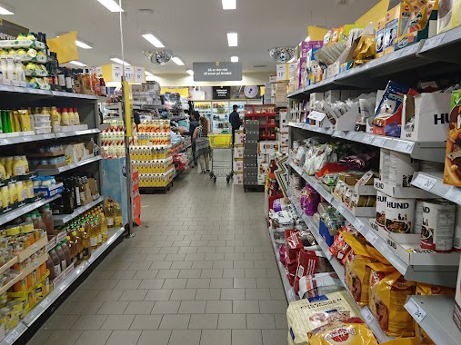
Supermarket nearby Naz Farhat
Naz Farhat
Glentevej 1, Glostrup Denmark
contacts phone
:
+45
Latitude:
55.6737195
, Longitude:
12.398611
read more
nearest Supermarket
547 m
Vivo Supermarked
H/f Sommerbyen Ejb 0, Glostrup
Supermarket
read more
945 m
Spar
Dalvangsvej 52, Glostrup
Supermarket
read more
945 m
SPAR Glostrup
Dalvangsvej 52, Glostrup
Supermarket
read more
950 m
føtex Glostrup
Glostrup Storcenter 50, Glostrup
Supermarket
read more
987 m
Aldi
Hovedvejen 140, Glostrup
Supermarket
read more
987 m
ALDI Glostrup
Hovedvejen 140, Glostrup
Supermarket
read more
1.009 km
Netto
Hovedvejen 152, Glostrup
Supermarket
read more
1.027 km
Fakta
Diget 60, Glostrup
Supermarket
read more
1.118 km
Lidl
Banegårdsvej 13, Glostrup
Supermarket
read more
1.139 km
Netto
Østbrovej 4 a-b, Glostrup
Supermarket
read more
1.426 km
REMA 1000
Østbrovej 12, Glostrup
Supermarket
read more
1.604 km
Fakta
Tjørnehusene 1, Glostrup
Supermarket
read more
1.729 km
Netto
Hermods Alle 7, Glostrup
Supermarket
read more
1.807 km
ALDI Holding ApS
Herstedøstervej 27-29, Albertslund
Supermarket
read more
2.496 km
ALDI Brøndby
Turpinssvinget 5, Brøndbyøster
Supermarket
read more
2.579 km
Fakta
Nygårds Plads 23B, Brøndbyøster
Supermarket
read more
2.615 km
Fakta
Kærdammen 1A, Brøndbyvester
Supermarket
read more
2.619 km
Netto
Nygårds Plads 1, Brøndbyøster
Supermarket
read more
2.728 km
Coop Danmark
Roskildevej 65, Albertslund
Supermarket
read more
2.776 km
Fakta
fakta Godthåbsparken, Rypehusene 3, Albertslund
Supermarket
read more
2.898 km
Inco Glostrup
Ejby Industrivej 111, Glostrup
Supermarket
read more
3.052 km
Let-Køb Ejbyvej
Ejbyvej 165, Rødovre
Supermarket
read more
3.355 km
ALDI Albertslund
Stationstorvet 3-9, Albertslund
Supermarket
read more
3.355 km
ALDI Albertslund (Stationstorvet)
Stationstorvet 3-9, Albertslund
Supermarket
read more
3.495 km
føtex Albertslund
Kanalgaden 1, Albertslund
Supermarket
read more
📑
all categories
Accounting
Administrative area level 1
Administrative area level 2
Airport
Amusement park
Aquarium
Art gallery
Atm
Bakery
Bank
Bar
Beauty salon
Bicycle store
Book store
Bowling alley
Bus station
Cafe
Campground
Car dealer
Car rental
Car repair
Car wash
Casino
Cemetery
Church
City hall
Clothing store
Colloquial area
Convenience store
Country
Courthouse
Dentist
Department store
Doctor
Electrician
Electronics store
Embassy
Finance
Fire station
Florist
Food
Funeral home
Furniture store
Gas station
General contractor
Grocery or supermarket
Gym
Hair care
Hardware store
Health
Hindu Temple
Home goods store
Hospital
Insurance agency
Jewelry store
Laundry
Lawyer
Library
Light rail station
Liquor store
Local government office
Locality
Locksmith
Lodging
Meal delivery
Meal takeaway
Mosque
Movie rental
Movie theater
Moving company
Museum
Natural feature
Neighborhood
Night club
Painter
Park
Parking
Pet store
Pharmacy
Physiotherapist
Place of worship
Plumber
Point of interest
Police
Political
Post office
Premise
Real estate agency
Restaurant
Roofing contractor
Route
Rv park, camping
School
Shoe store
Shopping mall
Spa
Stadium
Storage
Store
Subpremise
Subway station
Supermarket
Synagogue
Taxi stand
Train station
Transit station
Travel agency
University
Veterinary care
Zoo
sublocality level 1
sublocality level 2
↑