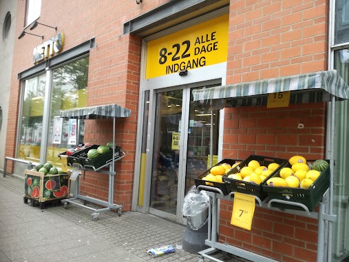
Supermarket nearby Løvbjerg Supermarked Vejen
Coronavirus disease (COVID-19) Situation
confirmed cases
3183756
deaths
8814
Denmark
Supermarket nearby Løvbjerg Supermarked Vejen
Løvbjerg Supermarked Vejen
Lindetorvet 2, Vejen Dänemark
contacts phone
:
+45
Latitude:
55.4764815
, Longitude:
9.1391702
read more
nearest Supermarket
143 m
Kvickly Vejen
Rådhuspassagen 1, Vejen
Supermarket
read more
591 m
ALDI Vejen
Søndergade 40, Vejen
Supermarket
read more
838 m
Lidl
Fr. D. 7's Gade 38, Vejen
Supermarket
read more
852 m
Netto
Fr. D. 7's Gade 30, Vejen
Supermarket
read more
1.057 km
Fakta
Søndergade 103, Vejen
Supermarket
read more
2.464 km
DagliBrugsen Askov
Torvet 1, Vejen
Supermarket
read more
6.369 km
Dagli'Brugsen
Skodborg Søndergade 1, Rødding
Supermarket
read more
19.497 km
REMA 1000
Seestvej 2, Kolding
Supermarket
read more
20.57 km
Bilka Kolding
Skovvangen 40, Kolding
Supermarket
read more
20.646 km
Fakta
Vestre Ringgade 2, Kolding
Supermarket
read more
20.956 km
REMA 1000
b, Vonsildvej 1, Kolding
Supermarket
read more
20.981 km
føtex Kolding Syd
Industrivej 2, Kolding
Supermarket
read more
20.981 km
Føtex
Industrivej 2, Kolding
Supermarket
read more
21.413 km
Liva Stormarked
Domhusgade 6, Kolding
Supermarket
read more
21.477 km
Netto
Jernbanegade 48, Kolding
Supermarket
read more
22.011 km
SuperBrugsen
Centervej 5, Bramdrupdamcenter, Kolding
Supermarket
read more
23.464 km
REMA 1000
Gefionvej 12, Kolding
Supermarket
read more
24.623 km
ALDI Kolding (Lyshøj Allé)
Lyshøj Alle 6, Kolding
Supermarket
read more
24.983 km
SPAR Nr. Bjert
Nr Bjertvej 70, Kolding
Supermarket
read more
31.654 km
Dagrofa S-Engros Haderslev
Norgesvej 22 A, Haderslev
Supermarket
read more
32.824 km
føtex Haderslev
Bredgade 12, Haderslev
Supermarket
read more
32.981 km
ALDI
Laurids Skaus Gade 19, Haderslev
Supermarket
read more
33.099 km
MENY Haderslev
Gåskærgade 38-44, Haderslev
Supermarket
read more
33.441 km
Fakta
Bygnaf 9A, Haderslev
Supermarket
read more
34.388 km
Fakta
Pedersholms Allé 1, Vejle
Supermarket
read more
📑
all categories
Accounting
Administrative area level 1
Administrative area level 2
Airport
Amusement park
Aquarium
Art gallery
Atm
Bakery
Bank
Bar
Beauty salon
Bicycle store
Book store
Bowling alley
Bus station
Cafe
Campground
Car dealer
Car rental
Car repair
Car wash
Casino
Cemetery
Church
City hall
Clothing store
Colloquial area
Convenience store
Country
Courthouse
Dentist
Department store
Doctor
Electrician
Electronics store
Embassy
Finance
Fire station
Florist
Food
Funeral home
Furniture store
Gas station
General contractor
Grocery or supermarket
Gym
Hair care
Hardware store
Health
Hindu Temple
Home goods store
Hospital
Insurance agency
Jewelry store
Laundry
Lawyer
Library
Light rail station
Liquor store
Local government office
Locality
Locksmith
Lodging
Meal delivery
Meal takeaway
Mosque
Movie rental
Movie theater
Moving company
Museum
Natural feature
Neighborhood
Night club
Painter
Park
Parking
Pet store
Pharmacy
Physiotherapist
Place of worship
Plumber
Point of interest
Police
Political
Post office
Premise
Real estate agency
Restaurant
Roofing contractor
Route
Rv park, camping
School
Shoe store
Shopping mall
Spa
Stadium
Storage
Store
Subpremise
Subway station
Supermarket
Synagogue
Taxi stand
Train station
Transit station
Travel agency
University
Veterinary care
Zoo
sublocality level 1
sublocality level 2
↑