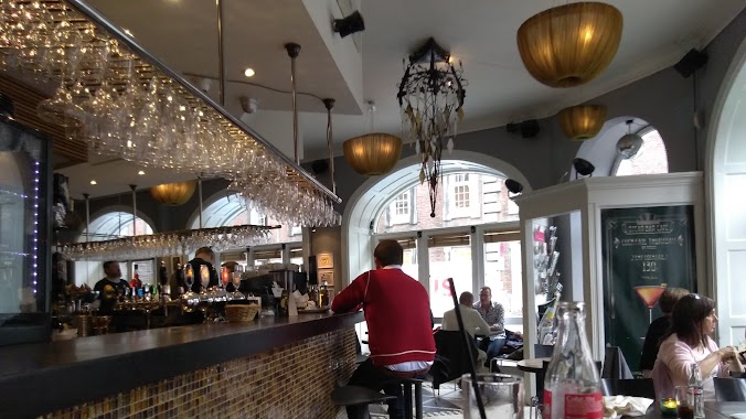
Cafe nearby Kaf' Bar
Coronavirus disease (COVID-19) Situation
confirmed cases
3183756
deaths
8814
Denmark
Cafe nearby Kaf' Bar
Kaf' Bar
Antonigade 9, st. tv., Copenhagen Danmark
contacts phone
:
+45
Latitude:
55.680468
, Longitude:
12.581246
read more
nearest Cafe
108 m
Foodys Cafe
Kronprinsensgade 10, København K
Cafe
read more
125 m
Coffee Room
Silkegade 1, København K
Cafe
read more
142 m
Cafe Ultimo I Tivoli v/Torben Bo Olsen
Hovedvagtsgade 8, København K
Cafe
read more
206 m
Café Bohemia
Gothersgade 39, København K
Cafe
read more
400 m
Hansel & Gretel Custom Cakes
Skindergade 21, København K
Cafe
read more
407 m
Café Diamanten og ølhalle
Gammel Strand 50, København K
Cafe
read more
436 m
Bertel Coffee and Cake
Kompagnistræde 5, København K
Cafe
read more
465 m
Cafe Grabow
1201 K, Kompagnistræde 10, København
Cafe
read more
492 m
La Creperie
Kultorvet 2-14, København K
Cafe
read more
513 m
Espresso House
Skoubogade 5-1, 1159, København
Cafe
read more
561 m
Cafe Maroc/Køkkenet
Gyldenløvesgade 4, København K
Cafe
read more
648 m
Herkules Pavillonen
Georg Brandes Plads 3, København K
Cafe
read more
662 m
Cafe Ray's
Bredgade 36, København K
Cafe
read more
663 m
Original Coffee Bredgade
Bredgade 36, København K
Cafe
read more
693 m
Cafe Fremtiden ApS
Denmark
Cafe
read more
767 m
La Grotte
Mikkel Bryggers Gade 5 A, København
Cafe
read more
799 m
Oscar Bar & Cafe
Regnbuepladsen 9, København V
Cafe
read more
800 m
Unplugged juice
Linnésgade 17, København K
Cafe
read more
801 m
RÅ Hygge Copenhagen
Frederiksborggade 21, København K
Cafe
read more
966 m
Conditori & Cafe H.C. Andersen
H. C. Andersens Boulevard 15, København V
Cafe
read more
992 m
Kafferiet
Wildersgade 26, København K
Cafe
read more
1.129 km
Dalle Valle
1609, Axeltorv 4, København
Cafe
read more
1.176 km
Café Ketchup
Copenhagen
Cafe
read more
1.223 km
Cafe B
Prinsessegade 52, København K
Cafe
read more
1.231 km
Cafe Loppen
Sydområdet 4E, København K
Cafe
read more
📑
all categories
Accounting
Administrative area level 1
Administrative area level 2
Airport
Amusement park
Aquarium
Art gallery
Atm
Bakery
Bank
Bar
Beauty salon
Bicycle store
Book store
Bowling alley
Bus station
Cafe
Campground
Car dealer
Car rental
Car repair
Car wash
Casino
Cemetery
Church
City hall
Clothing store
Colloquial area
Convenience store
Country
Courthouse
Dentist
Department store
Doctor
Electrician
Electronics store
Embassy
Finance
Fire station
Florist
Food
Funeral home
Furniture store
Gas station
General contractor
Grocery or supermarket
Gym
Hair care
Hardware store
Health
Hindu Temple
Home goods store
Hospital
Insurance agency
Jewelry store
Laundry
Lawyer
Library
Light rail station
Liquor store
Local government office
Locality
Locksmith
Lodging
Meal delivery
Meal takeaway
Mosque
Movie rental
Movie theater
Moving company
Museum
Natural feature
Neighborhood
Night club
Painter
Park
Parking
Pet store
Pharmacy
Physiotherapist
Place of worship
Plumber
Point of interest
Police
Political
Post office
Premise
Real estate agency
Restaurant
Roofing contractor
Route
Rv park, camping
School
Shoe store
Shopping mall
Spa
Stadium
Storage
Store
Subpremise
Subway station
Supermarket
Synagogue
Taxi stand
Train station
Transit station
Travel agency
University
Veterinary care
Zoo
sublocality level 1
sublocality level 2
↑